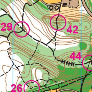
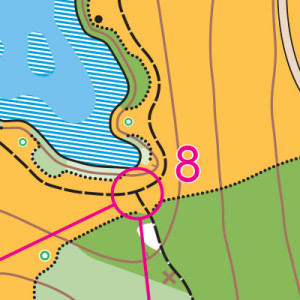
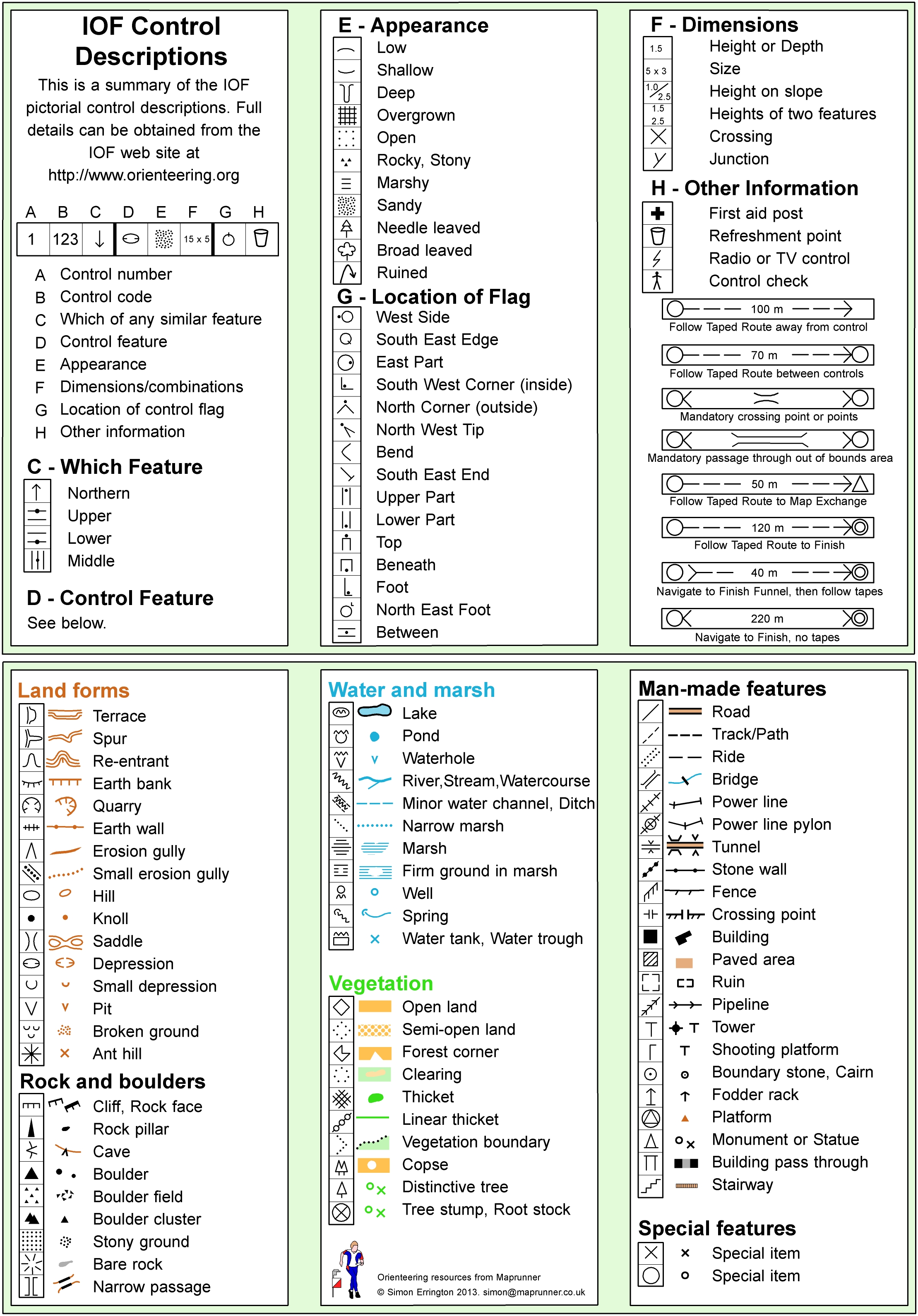
VENUES
Prefer to see a map? Go to: Map of Maps
Some venues offer permanent courses, where you can orienteer anytime! Learn more at the Permanent Courses page.
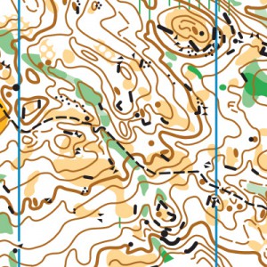
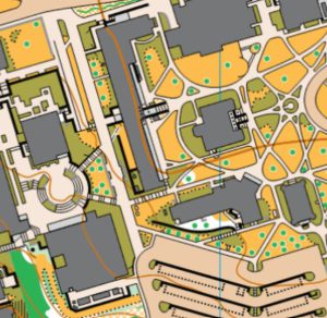
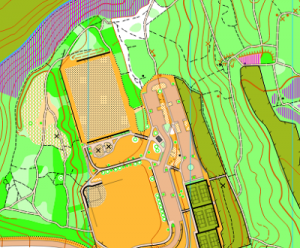
PDF versions of many COC maps are available for personal use only in the map library. Possession of a map does not grant any permissions. Please respect private property and all rules and regulations put in place by land managers. If you wish to use a map for a group activity or commercially, contact info@cascadeoc.org
Note: we are still in the process of adding all of the club’s maps to this web page.
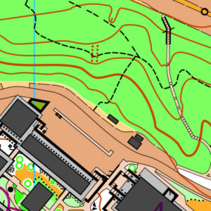
Bellevue College
Bellevue College
Big Finn Hill – parking at Finn Hill
Kirkland, WA
Big Finn Hill – parking at Thoreau Elementary School
Kirkland, WA
Bishop’s Land
Quincy, WA
Bob’s Corn Maze & Pumpkin Farm
Snohomish, WA
Bridle Trails State Park
Kirkland, WA
Camp Hamilton
Duvall WA
Camp River Ranch
Carnation, WA
Canoe Island French Camp
Canoe Island, WA
Carkeek Park
Seattle, WA
Dash Point State Park
Federal Way, WA
Dickey Creek
Cle Elum, WA
Edmonds Community College
Lynnwood WA
Fire Mountain Scout Camp
Mt.Vernon, WA
Fishtrap Lake
Sprague, WA
Fisk State Park
Spokane WA
Fort Casey State Park
Coupeville, WA
Fort Ebey State Park
Coupeville, WA
Fort Steilacoom – Pierce College entrance
Lakewood WA
Frenchman Spring
Vantage, WA
Green River College
Auburn, WA
Hamlin Park
Shoreline, WA
Hamlin Park-Kellogg Middle School
Shoreline, WA
Jack & Indian Creeks
Cle Elum, WA
Jack Creek
Cle Elum, WA
Jackson Park Golf Course
Seattle, WA

Jungle Creek
Cle Elum, WA
Lake Wilderness Park
Maple Valley, WA
Lick Creek
Cle Elum, WA
Lincoln Park
Seattle, WA
Lincoln Tree Farm
Spanaway, WA
Lincoln Tree Farm – onsite parking
Spanaway, WA
Lord Hill Regional Park – South Entrance
Snohomish, WA
Luther Burbank Park (north entrance)
Mercer Island, WA
Luther Burbank Park (south entrance)
Mercer Island, WA
Lynnwood Golf Course
Lynnwood, WA
Lynnwood Golf Course – Lot Q parking area
Edmonds, WA
Maple Valley Legacy Site
Maple Valley, WA
Meadowbrook
Seattle, WA
Moses Lake Sand Dunes
Moses Lake, WA
North Seattle College
Seattle, WA
Northwest University/Watershed Park
Kirkland, WA
Olson Mansion
Maple Valley, WA
Point Defiance Park
Tacoma, WA
Putney Woods
Langley, WA
Riverside State Park
Nine Mile Falls, WA
Robinswood Park
Bellevue, WA
Salmon La Sac
Roslyn, WA
Seattle Pacific University
Seattle, WA
Shoreview Park
Shoreline, WA
Shoreview Park/Shoreline CC
Shoreline, WA

Soaring Eagle Park
Sammamish, WA
South Quincy Lakes – north access
Quincy, WA
South Quincy Lakes – south parking
Quincy WA
South Seattle College
Seattle, WA
South Whidbey Community Park
Langley, WA
Summit Trails/Rock Creek Natural Area
Ravensdale, WA
Teanaway Forks
Cle Elum, WA
University of Washington
Seattle, WA
Woodland Park
Seattle, WA