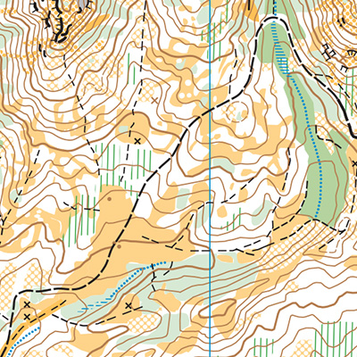
Part of a chain of orienteering maps in the Teanaway Community Forest, Lick Creek is rugged, challenging, and beautiful. There is a ton of contour details and large areas without trails, making this one of Cascade’s most challenging and rewarding maps to navigate. Vegetation becomes quickly outdated here, so do not rely on vegetation alone; contours are your best friend!
New orienteers should consider choosing a shorter or easier course than usual.
Lick Creek is rugged and moderately hilly, with some especially steep areas that nice course designers try to avoid. Deadfall on the ground makes running or hiking more strenuous.
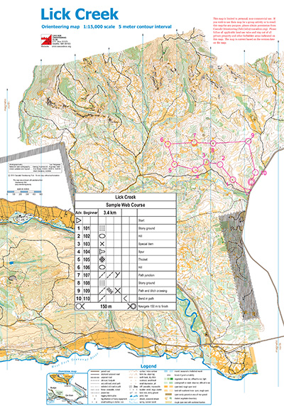
Note: Samples of the map are provided here for educational purposes only; the map shown here is not kept up-to-date. The course shown is a Beginner/Intermediate course, and actual controls do not exist in the terrain.
The purpose of providing these navigational and physical ratings below is to provide greater context for how challenging an orienteering course at this venue might be. For example, an advanced-level course at a local city park will be easier to complete than an advanced-level course in the mountains.