Forest Park is an intriguing venue. While it isn’t large at 1:5,000 scale, it is compartmentalized enough to feel like five or six different venues. Near central parking, there are open and rolling fields surrounded by picnic and playground equipment. Venture north and there are sometimes convoluted trails on steep hills in light woods. Further north, it’s so densely wooded and steep that we hardly use it, except at the edges.
Go south and you break through a building-heavy area into another campus of disbursed buildings on a wide, spacious lawn. West of that, and you’re back into semi-dense forest on a hillside.
Amazing sprint venue!
ABOUT THE PERMANENT COURSE
This venue features a permanent course, which you can do at any time! To try it out, print the PDF map and control descriptions below (or simply open them on your smart phone), read the instructions on the permanent course page, and have fun!
- Print/view Forest Park map
- Print/view Forest Park control descriptions (needed to complete the permanent course)
- Introduction-Orienteering Permanent Course at Forest Park
CascadeOC supports many permanent courses over a large geographic area and our volunteers have limited time to keep up with maintenance. If you observe any damaged, obscured, or missing markers, or if you can help regularly monitor and maintain this permanent course, please let us know. Thanks for your help!
To find more venues with permanent courses, visit the Map of Maps page, where each permanent course is marked by a yellow pin.
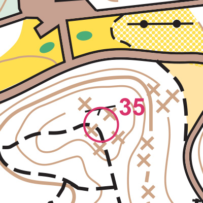
Note: Samples of the map are provided here for educational purposes only; the map shown here is not kept up-to-date.
The permanent orienteering courses at Forest Park were designed and installed as a Boy Scout Eagle Award Service Project by Ryan Cook, Boy Scout Troop 16.
The purpose of providing these navigational and physical ratings below is to provide greater context for how challenging an orienteering course at this venue might be. For example, an advanced-level course at a local city park will be easier to complete than an advanced-level course in the mountains.