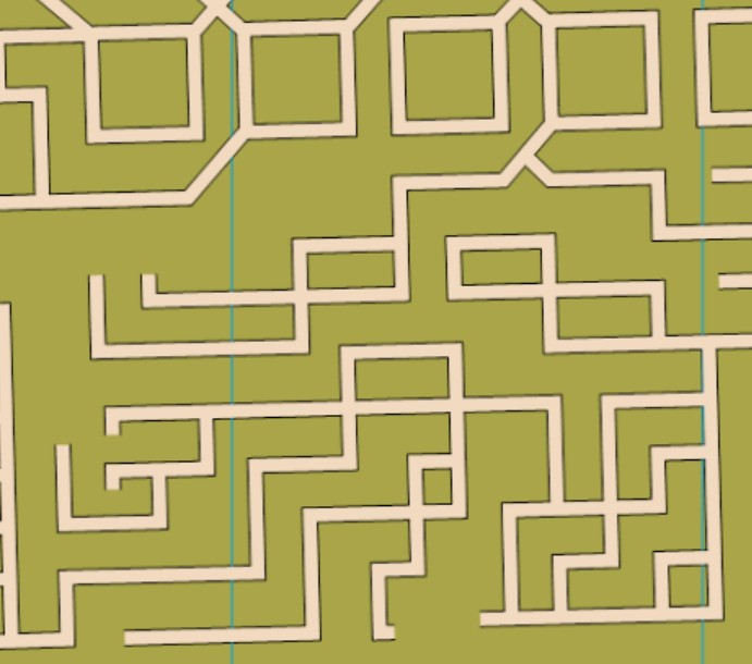
The corn maze changes every year, and we have a 1:1250 scale of it, mapped to orienteering specifications. Most of the map is corn (out-of-bounds olive green), with a maze of paths throughout. There are a few other features, like firepits and a bridge/underpass.
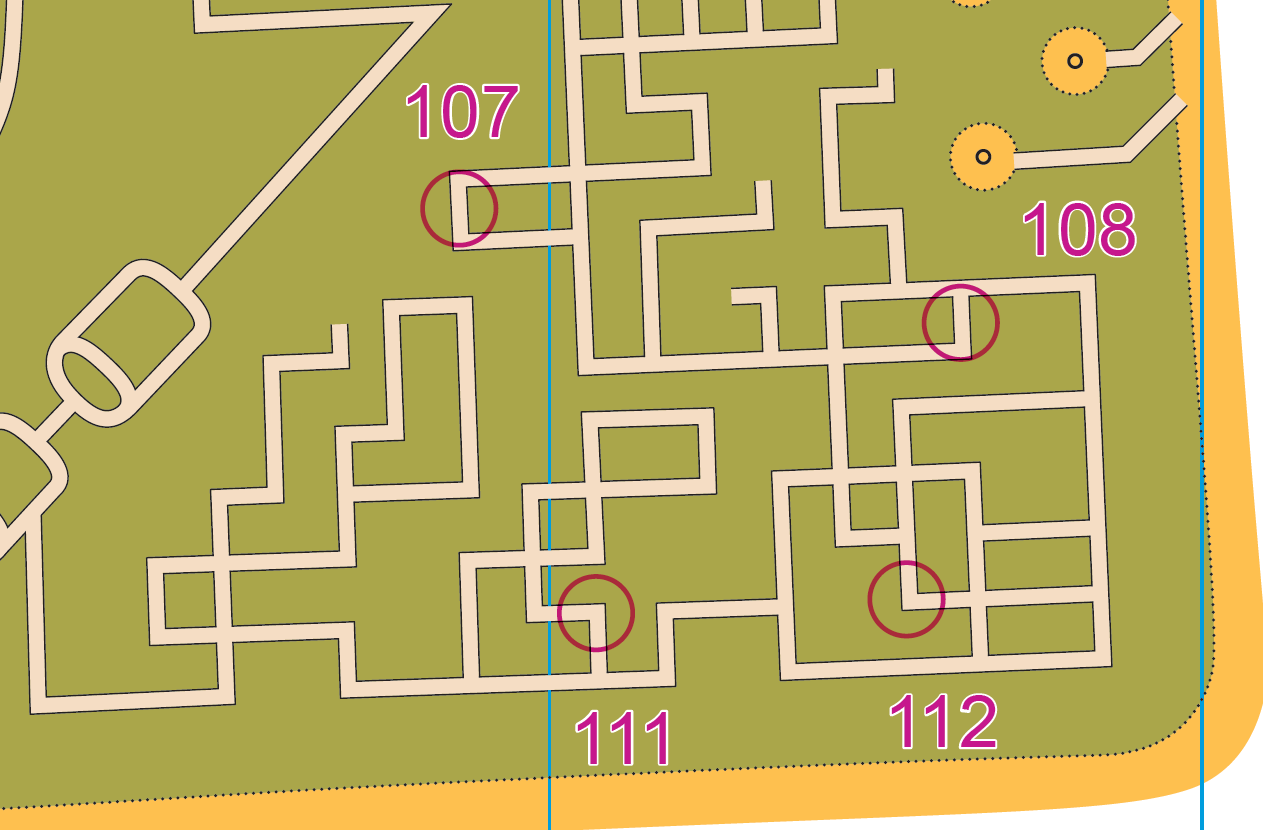
Note: Samples of the map are provided here for educational purposes only; the map shown here is not kept up-to-date. The course shown is a Beginner/Intermediate course, and actual controls do not exist in the terrain.
The purpose of providing these navigational and physical ratings below is to provide greater context for how challenging an orienteering course at this venue might be. For example, an advanced-level course at a local city park will be easier to complete than an advanced-level course in the mountains.