The Tolt McDonald Park and Campground map covers the campground and the non-hilly part of the park closest to the Snoqualmie river. A scenic suspension bridge for pedestrians and bikes only connects the yurts in the campground with the rest of the park. The river, tributaries, and marshes comprise much of the map or create linear barriers on the map, with much of the navigation happening west of the river on the park side, next to a simple trail network.
ABOUT THE PERMANENT COURSE
This venue features a permanent course, which you can do at any time! To try it out, print the PDF map and control descriptions below (or simply open them on your smart phone), read the instructions on the permanent course page, and have fun!
- Print/view Tolt-MacDonald Park map
- Print/view Tolt-MacDonald Park control descriptions (needed to complete the permanent course)
- Introduction-Orienteering Permanent Course at Tolt-MacDonald Park
CascadeOC supports many permanent courses over a large geographic area. This makes it challenging for our volunteers to keep up with maintenance and information on their condition. If you observe any damaged, obscured, or missing markers, please notify Thomas Lanphear.
To find more venues with permanent courses, visit the Map of Maps page, where each permanent course is marked by a yellow pin.
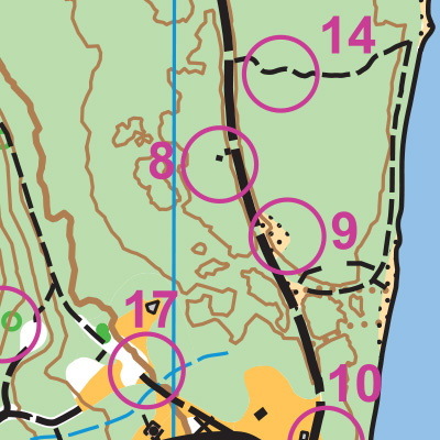
Note: Samples of the map are provided here for educational purposes only; the map shown here is not kept up-to-date.
The permanent orienteering courses at Tolt-MacDonald Park were designed and installed as a Boy Scout Eagle Award Service Project by Ronnie Rogers.
The purpose of providing these navigational and physical ratings below is to provide greater context for how challenging an orienteering course at this venue might be. For example, an advanced-level course at a local city park will be easier to complete than an advanced-level course in the mountains.