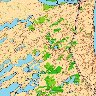
Directions
From eastbound I-90 (e.g. from Seattle):
–Take Exit #174 (Mae Valley/Hansen Rd)
–Turn right (south) at the yield sign and continue ~500′ (150m)
–Turn left (east) follow signs for O.R.V. Pk. (onto Sage Rd) and continue 0.25mi
–Turn right (south) onto Sand Dune Rd. and continue for 0.7mi to end of pavement
–Continue straight (south) on gravel road for 0.9mi to the second parking area (east side of road)
From WB I-90 (e.g. from Spokane and Moses Lake motels and campgrounds):
–Take Exit #174 (Mae Valley/Hansen Rd)
–Turn left (south) at the end of the exit ramp and cross over I-90
–At the T intersection, turn left (east) onto Sage Rd
–Turn right (south) onto Sand Dune Rd. and continue for 0.7mi to end of pavement
–Continue straight (south) on gravel road for 0.9mi to the second parking area (east side of road)

